Location: located 48 kilometers north of Amman is considered one of the largest and most well-preserved sites of Roman architecture in the world outside Italy. To this day, its colonnaded streets, baths, theaters, plazas and arches remain in exceptional condition.
Within the remaining city walls, archaeologists have found the ruins of settlements dating back to the Neolithic Age, indicating human occupation at this location for more than 6500 years. This is not surprising, as the area is ideally suited for human habitation. The site now lies on a modern highway that links Amman with the northern boundary of the Kingdom towards Syria; the drive takes 40 minutes from Amman at a leisurely speed. As one approaches, it is after a corner of the highway that he is suddenly faced with a wonderful view of the ruins with the Triumphal Arch in the foreground. On the other side of the highway lies the modern town of Jerash.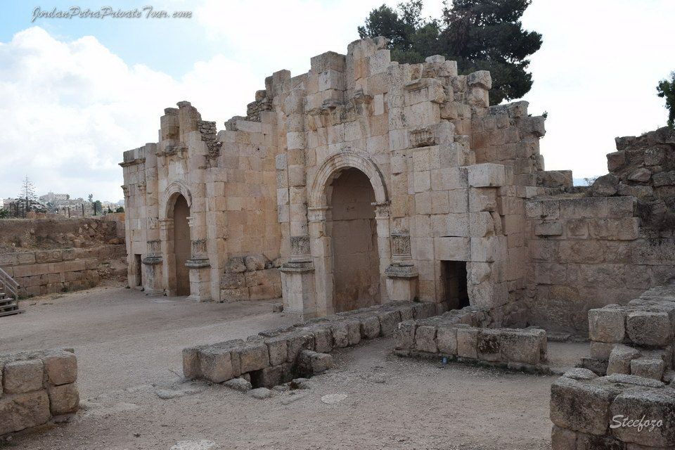
History:
The history of Jerash is a blend of the Greco-Roman world of the Mediterranean basin and the ancient traditions of the Arab Orient. Indeed, the name of the city itself reflects this interaction. The earliest Arab/Semitic inhabitants, who lived in the area during the pre-classical period of the first millennium BCE, named their village Garshu. The Romans later Hellenised the former Arabic name of Garchu into Gerasa, and the Bible refers to "the region of the Gerasenes" . At the end of the 19th century, the Arab and Circassian inhabitants of the small rural settlement transformed the Roman Gerasa into the Arabic Jerash.
In ancient times, the Roman town of Gerasa grew rich from iron ore as well as agricultural products which flourished in this comparatively lush temperate region. This wealth in turn endowed the town with architectural treasures: the unique oval Forum, Hippodrome, Amphitheater, Agora, and the proud columns of the Temple to Artemis. The majestic Hadrian’s Arch dates from the eponymous Roman Emperor’s visit an event which signaled the town’s importance.
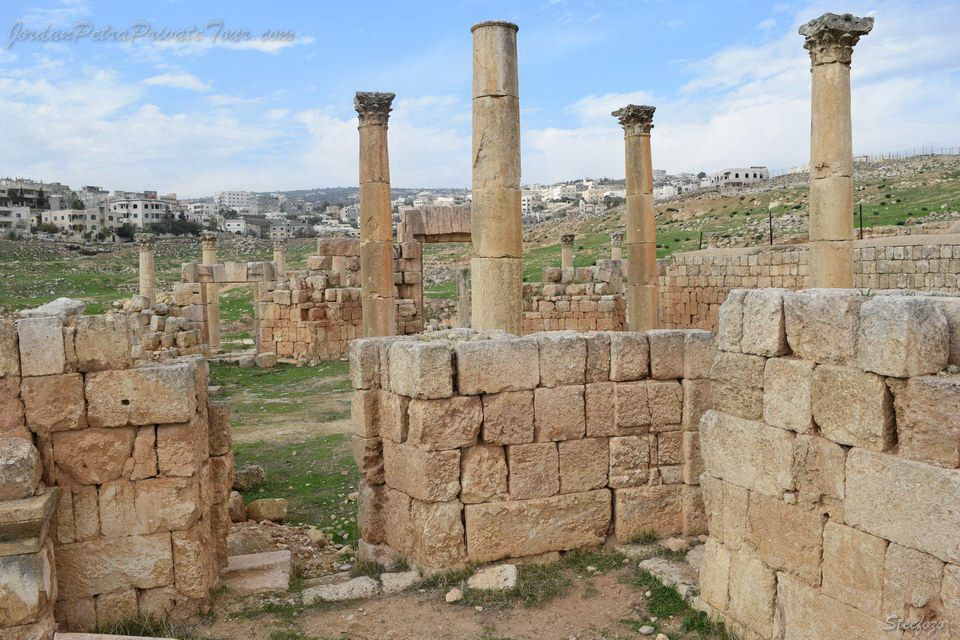
Not long after the spread of Islam into the area, Gerasa was devastated by an earthquake and for centuries lay buried in sand. This accounts for the remarkable state of preservation in this, one of Jordan’s most important Roman sites. Significant sections of all the above-named sites can still be seen next to the modern town of Jerash, as well as colonnaded streets and city walls which precisely delineate the town’s contours, giving a vivid sense of life in an ancient Roman town
Name :
Exactly when the shift was made to the present position cannot now be determined. The town was at one time called "Antioch on the Chrysorrhoea," the latter, meaning "Golden River," being the somewhat grandiose name of the little stream which still separates the eastern from the western section. But the name "Antioch" is significant, and strongly suggests that it was one of the Seleucid Kings with the name Antiochus who was responsible for raising the little village to the status of great town, probably Antiochus IV in the early second century B.C. Inscriptions found in the ruins, however, show that there were many traditions current as to the founding of the city, some attributing it to Alexander the Great, some to the general Predicts in the fourth century B.C. It could also have been accomplished by Ptolemy II (285 - 246 B. C.) when he changed Amman into the Hellenistic city of Philadelphia.
It is possible and probable that each and every one of these had a finger in the pie, and that the emergence of Jerash from the chrysalis village of mud huts to the brightly colored butterfly of an Hellenistic town was due rather to the increasing general prosperity and security than to the efforts of any one ruler
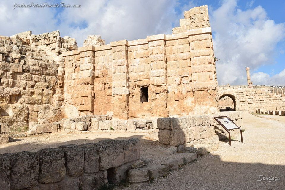
Umm-Qais History: (Gadara)
Christianity spread slowly among the inhabitants of Gadara. Starting from the 4th century, its bishop attended the ecclesiastical councils of Nicaea, Chalcedon and Ephesus. Despite his attendance, the city was no longer a seat of learning. During the 6th century, decline set in, and in 636 AD a decisive military clash between Byzantines and Arab Muslims took place not far from Gadara. There is no evidence, however, of widespread destruction in the city.
Umm Qais charm still lingers today. A large portion of the western Roman Theater has survived history s upheavals. Vaulted passageway supports its rows of seats, built of hard basalt stones. A row of elaborately carved seats for dignitaries stand near the orchestra, and in the center was a large headless white marble statue of Tyche, goddess of fortune and of the city, now displayed at the local museum.
Across from the theater is the main colonnaded street (cardo), which was in all likelihood the town s commercial center. Also, near the black basalt theater is the Terrace, which hosts a courtyard, a church and a basilica. Further west of the Terrace and along the east-west colonnaded street (decumanus), ruins of the Nymphaeum, a bath complex and a well-preserved Roman Mausoleum can be seen. After a few hundred meters one can barely make out remains of what was once a Hippodrome.
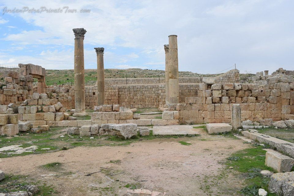
Architecture in Jerash-Ajloun and Umm Qais:
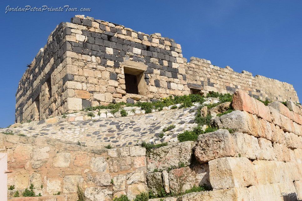
Nabatean influence had played its part in Jerash: stones carved in the typical Nabataean "crow step" pattern testify that their type of architecture was known and used there. There is a bilingual inscription, almost illegible, in Nabataean and Greek, and other inscriptions refer to a temple of the "Holy God" Pakidas and the Arabian god. It can be deduced that this latter is Dusares, the Nabatean deity, and it is significant that the inscriptions referring to him and the "crow step" stones are all found in the same area, i.e. the Cathedral and Fountain Court. There are known to be remains of an earlier temple beneath the Cathedral, in all probability that of the Arabian god, later identified with Dionysus